Urban areas correspond to the more densely populated areas of New Zealand:
100 people per square km and above
250 people per square km and above
500 people per square km and above
750 people per square km and above
1000 people per square km and above
2000 people per square km and above
3000 people per square km and above
4000 people per square km and above
Statistics New Zealand defines urban areas of New Zealand for statistical purposes (they have no administrative or legal basis).[1] The urban areas comprise cities, towns and other conurbations (an aggregation of urban settlements) of a thousand people or more. In combination, the urban areas of the country constitute New Zealand's urban population.[1] As of June 2023, the urban population made up 84.2% of New Zealand's total population.
The current standard for urban areas is the Statistical Standard for Geographic Areas 2018 (SSGA18), which replaced the New Zealand Standard Areas Classification 1992 (NZSAC92) in 2018.[2]
There are four classes of urban area under SSGA18:
Major urban areas, with a population of 100,000 or more. There are seven major urban areas which combined have a population of 2,645,000 (50.6% of the total population).
Large urban areas, with a population of 30,000 to 99,999. There are 13 large urban areas which combined have a population of 730,600 (14.0% of the total population).
Medium urban areas, with a population of 10,000 to 29,999. There are 23 medium urban areas which combined have a population of 472,800 (9.1% of the total population).
Small urban areas, with a population of 1,000 to 9,999. There are 152 small urban areas which combined have a population of 546,900 (10.5% of the total population).
Each urban area consists of one or more level-2 statistical areas (SA2s). Urban areas under SSGA18 do not cross territorial authority boundaries, with one exception (Richmond, which lies in the Tasman District but includes the Daelyn SA2 area from neighbouring Nelson City).
Statistics New Zealand also defines rural settlements with a population of 200 to 999 people or at least 40 dwellings.[3][4] While these do not fit the standard international definition of an urban population, they serve to distinguish between true rural dwellers and those in rural settlements or towns. There are 402 rural settlements which combined have a population of 157,400 (3.0% of the total population).
In 2023, Stats NZ updated the 2018 standard for geographical areas with the new NZ Statistical standard for geographic areas 2023. While similar, the new standard has added a new geographical area (SA3), has upgraded Wanaka to a medium urban area, seven rural settlements to small urban areas and has created thirteen new rural settlements.[5][6]
Statistical Standard for Geographic Areas 2018
The following shows the urban areas as classified under SSGA18 (adjusted according to SSGA23 update).[7][8]
Under the New Zealand Standard Areas Classification 1992 (NZSAC92), there are three classes of urban area:[9][3]
Main urban areas, with a population of 30,000 or more. These 17 areas mostly correspond to the places known by New Zealanders as cities.
Secondary urban areas are the 14 urban areas with a population of 10,000 to 29,999.
Minor urban areas make up the remainder of the urban population of the country, towns with 1,000 to 9,999 people. There are 103 minor urban areas.
Main urban areas
The population figures shown are Statistics New Zealand's resident population estimates at June 2018.[10] For rankings in various criteria see the ranked list of New Zealand urban areas by population. Four main urban areas are subdivided into urban zones. The following cities are listed by location from north to south.
North Island
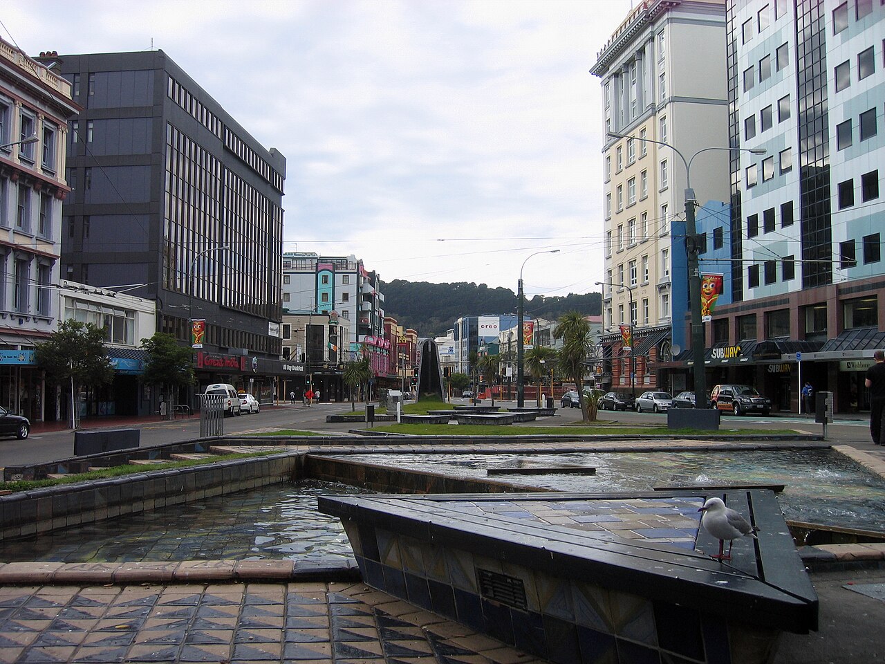
Skycrapers in Auckland's central business districtWellington city centre
Lower Hutt (105,200): includes Wainuiomata, Petone and the eastern bays, excludes farmland adjacent to Wainuiomata
Porirua (56,700): all of Porirua City except Paekākāriki Hill and Mana Island; includes Pukerua Bay and Pauatahanui
Wellington City (215,400): from Linden south, includes Horokiwi but excludes Mākara and Ohariu
South Island
Nelson (67,500): from Glenduan to the Wairoa River, includes Richmond but excludes Whangamoa
Blenheim (31,600): From Renwick to Riverlands and south to Wither Hills
Christchurch (404,500): Christchurch City, Kaiapoi, and up to the Waimakariri River, Prebbleton, Tai Tapu and Lyttelton Harbour including Diamond Harbour
Invercargill (51,200): Makarewa to Woodend and west to Otatara
Secondary urban areas
The population figures shown are Statistics New Zealand's resident population estimates at the June 2018.[10]The following towns are listed by location from north to south.
North Island
Pukekohe (31,400): From Paerata to Tuakau. Excludes Bombay.
Whakatāne (19,750): From Coastlands to Ōhope and south to Poroporo.
^ a b"Geographic definitions". Statistics New Zealand. Retrieved 8 August 2017.
^"Defining urban and rural New Zealand". Statistics New Zealand. Retrieved 8 August 2017.
^"Statistical standard for geographic areas 2023" (PDF). Stats NZ. Retrieved 23 February 2023.
^"Urban Rural 2023". Stats NZ. Retrieved 23 February 2023.
^"Ariā SNZ". aria.stats.govt.nz.
^"Urban Rural 2023". Stats NZ. Retrieved 23 February 2023.
^"Subnational Population Estimates Geographic Areas". Statistics New Zealand. Retrieved 8 August 2017.
^ a b"Subnational Population Estimates: At 30 June 2019". Statistics New Zealand. 22 October 2019. Retrieved 11 January 2020. For urban areas, "Subnational population estimates (UA, AU), by age and sex, at 30 June 1996, 2001, 2006–18 (2017 boundaries)". Statistics New Zealand. 23 October 2018. Retrieved 23 October 2018.