State Route 49 (SR 49) is a north–south state highway in the U.S. state of California that passes through many historic mining communities of the 1849 California gold rush and it is known as the Golden Chain Highway.[2] The highway's creation was lobbied by the Mother Lode Highway Association, a group of locals and historians seeking a single highway to connect many relevant locations along the Gold Rush to honor the 49ers.[3][4][5] One of the bridges along SR 49 is named for the leader of the association, Archie Stevenot.
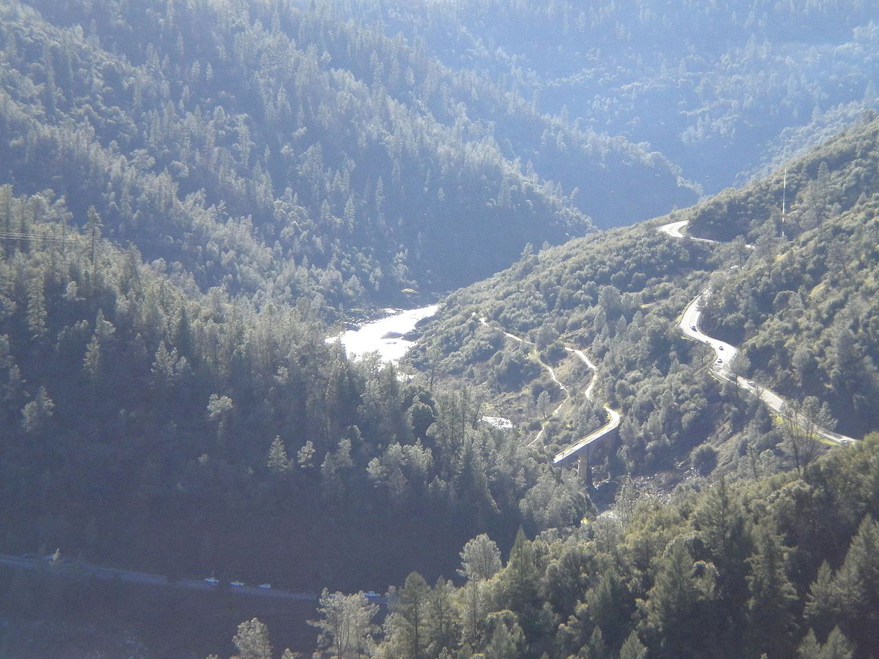
SR 49 crossing the American River North/Middle Fork, as seen from Foresthill Bridge (the SR 49 bridge is not visible)The South Fork of the Yuba River as it intersects with SR 49SR 49 in Tuolumne CountyNorth end of SR 49, at intersection with SR 70 in Vinton
SR 49 continues north through the town of Moccasin, where SR 120 runs concurrently for several miles to the town of Chinese Camp. SR 49 then turns northeast and runs concurrently with SR 108, intersecting CR E5, into the city of Sonora. SR 49 splits from SR 108 and enters downtown Sonora as Stockton Street, turning north onto Washington Street before leaving the Sonora city limits. SR 49 intersects the north end of CR E5 before passing through Tuttletown and crossing into Calaveras County at the bridge over the Stanislaus River.[6]
SR 49 then passes through Big Bar and across the Mokelumne River, which is located on the county line between Amador County and Calaveras County. SR 49 then runs concurrently with SR 88 briefly through the town of Martell before intersecting the eastern terminus of SR 104.[6] SR 49 then runs west of Sutter Creek and Amador City, via a bypass around those two cities that was constructed in 2009,[7]) before reaching Drytown.[6]
SR 49 then intersects the eastern end of SR 16 before passing through the city of Plymouth. The highway continues through Enterprise before crossing into El Dorado County and passing through the towns of Nashville, El Dorado, and Diamond Springs (the latter two as Pleasant Valley Road) before entering Placerville. SR 49 traverses downtown on Pacific Street and Main Street before continuing onto Spring Street, where it intersects the US 50 expressway at-grade before continuing north as Georgetown Road.[6]
As it leaves the Placerville city limits, SR 49 intersects the southern terminus of SR 193 before continuing northwest as Coloma Road into the town of Coloma. In Coloma, the highway intersects with SR 153, a spur route to the Marshall Gold Discovery State Historic Park. SR 49 then continues through Lotus before turning north at Pilot Hill and intersecting the northern terminus of SR 193 at Cool. SR 49 continues through the Auburn State Recreation Area before crossing into Placer County and entering the city of Auburn as High Street for a very short distance before turning west on Elm Avenue. SR 49 continues onto I-80 west at an interchange for a very short distance until the interchange at exit 119B where SR 49 departs from I-80. SR 49 then continues almost due north out of the Auburn city limits.[6]
SR 49 continues north, crossing into Nevada County and passing through Higgins Corner and Forest Springs. SR 49 becomes a freeway and enters the city of Grass Valley, where it then runs concurrently with SR 20 and interchanges with the northern end of SR 174. The SR 49/SR 20 concurrency continues as a freeway into Nevada City. SR 49 then splits from SR 20 at an at-grade intersection just after the freeway ends heads west out of Nevada City.[6]
SR 49 is known as the Golden Chain Highway for the entire route. SR 49 is known as the John C. Begovich Memorial Highway from Jackson to SR 88 (honoring the California legislator and U.S. Marshal), and the Mother Lode Highway from Sonora to Auburn.[14]
Historical landmarks
The SR 49 corridor was designed to connect historical locations and landmarks of the California Gold Rush.[3] These include:
Montezuma, a mining town that flourished after a ditch and flume were completed in 1852, bringing in water for placer mining. The town was nearly destroyed by an incendiary fire in 1866.[21]
Jamestown became known as gateway to the Mother Lode and the southern mines. Large quantities of gold were found from nearby Woods Creek.[22]
Tuttletown, named after judge A. A. H. Tuttle who settled there 1848, was an early-day stopping place.[23]
The birthplace of Archie Stevenot, who helped found the California State Chamber of Commerce and was officially named "Mr. Mother Lode" by the California legislature in 1961.[25]
Carson Hill was one of the most productive mining areas in California. The largest gold nugget in the state was discovered here in 1854, weighing 195 pounds troy.[26]
Angels Camp was founded in 1849 and became one of the richest quartz mining sections of the Mother Lode.[27]
The Angels Hotel in Angels Camp was originally a canvas tent erected in 1851, replaced by a one-story wooden structure, and then rebuilt with stone in 1855.[28]
Altaville was the site of a foundry that was established in 1854. Most of the stamp mills and a large portion of the mining machinery erected in Calaveras and Tuolumne Counties were built at this foundry.[29]
The Prince-Garibaldi Building in Altaville was built in 1852, originally housing a general merchandise business.[30]
Fourth Crossing became notable in the 1850s for its rich placer ores. The town also served as an important stagecoach and freighting depot, particularly for the southern mines.[31]
San Andreas was originally established as a mining camp by Mexican gold miners in 1848. The gold uncovered from the town's underground river channels and placer mines contributed to the Union's success during the American Civil War.[32]
Chili Gulch was the richest placer mining section in Calaveras County.[33]
Mokelumne Hill was the richest placer mining section of Calaveras County and one of the principal mining towns of California.[34]
The Butte Store, built in 1857, is the only structure still standing in Butte City.[36]
Both Argonaut Mine and adjacent Kennedy Mine were discovered in the 1850s and became the highest-yielding gold mines in the state.[37]
Sutter Creek became a boomtown after quartz gold was discovered in the area in 1851.[38]
Drytown, founded in 1848, is Amador County's oldest community, and the first in the county in which gold was discovered.[36]
El Dorado County
El Dorado, originally an important camp on the old Carson Trail, become the center of a mining district by 1849-50 and the crossroads for freight and stagecoach lines.[39]
Diamond Springs was among the most gold-rich locations in the region, with its most thriving period in 1851.[40]
Auburn developed into an important mining town, trading post, and stage terminal after gold was discovered nearby in 1848.[45]
Nevada County
The former Overland Emigrant Trail, which was used by travelers from points east to the California gold fields, crosses the present day SR 49 near Wolf Creek.[46]
Empire Mine was in constant operation from 1850 to the late 1950s.[47]
Gold Hill in Grass Valley was the site of one of the first discoveries of quartz gold in California.[48]
Major intersections
Except where prefixed with a letter, postmiles were measured on the road as it was in 1964, based on the alignment that existed at the time, and do not necessarily reflect current mileage. R reflects a realignment in the route since then, M indicates a second realignment, L refers to an overlap due to a correction or change, and T indicates postmiles classified as temporary (for a full list of prefixes, see California postmile § Official postmile definitions).[1] Segments that remain unconstructed or have been relinquished to local control may be omitted. The numbers reset at county lines; the start and end postmiles in each county are given in the county column.
^ a bIndicates that the postmile represents the distance along SR 140 rather than SR 49.
^ a b cIndicates that the postmile represents the distance along SR 120 rather than SR 49.
^ a bIndicates that the postmile represents the distance along I-80 rather than SR 49.
^ a b c d e f g h i jIndicates that the postmile represents the distance along SR 20 rather than SR 49.
^ a bIndicates that the postmile represents the distance along SR 89 rather than SR 49.
^ a b cCalifornia Department of Transportation. "State Truck Route List". Sacramento: California Department of Transportation. Archived from the original (XLS file) on September 5, 2015. Retrieved June 30, 2015.
^ a b"Mother Lode Highway Is Boosted By Association". Riverside Daily Press. Vol. XXXVII, no. 98. December 16, 1922.
^Archie D. Stevenot "Mr. Mother Lode". Near Angels Camp, California: Golden Chain Council of the Mother Lode and Grand Council of E Clampus Vitus. July 23, 1976. Retrieved January 23, 2023.
^Barton, Robert M. "New Bridges - Modern Structures Built on Route Traveled by 49ers" (PDF). California Highways and Public Works. Vol. 32, no. 1–2. p. 15.
^ a b c d e f g h i j kCalifornia Road Atlas (Map). Thomas Brothers. 2008.
^"Amador Celebrates New Bypass".
^"Article 2 of Chapter 2 of Division 1". California Streets and Highways Code. Sacramento: California Office of Legislative Counsel. Retrieved February 6, 2019.
^Federal Highway Administration (March 25, 2015). National Highway System: California (North) (PDF) (Map). Scale not given. Washington, DC: Federal Highway Administration. Retrieved October 14, 2017.
^Natzke, Stefan; Neathery, Mike & Adderly, Kevin (June 20, 2012). "What is the National Highway System?". National Highway System. Washington, DC: Federal Highway Administration. Retrieved July 1, 2012.
^"Article 2.5 of Chapter 2 of Division 1". California Streets & Highways Code. Sacramento: California Office of Legislative Counsel. Retrieved February 6, 2019.
^California Department of Transportation (August 2019). "Officially Designated State Scenic Highways and Historic Parkways" (XLSX). Sacramento: California Department of Transportation. Retrieved October 14, 2017.
^Federal Highway Administration (n.d.). "Yuba-Donner Scenic Byway". America's Byways. Federal Highway Administration. Archived from the original on October 23, 2011. Retrieved October 23, 2011.
^California Department of Transportation; California State Transportation Agency (January 2021). 2020 Named Freeways, Highways, Structures and Other Appurtenances in California (PDF). Sacramento: California Department of Transportation. pp. 37, 38, 228, 268. Archived from the original (PDF) on October 10, 2022.
^"Mormon Bar". Office of Historic Preservation, California State Parks. Retrieved February 28, 2023.
^"Bear Valley". Office of Historic Preservation, California State Parks. Retrieved February 28, 2023.
^"Coulterville". Office of Historic Preservation, California State Parks. Retrieved February 28, 2023.
^"China Camp". Office of Historic Preservation, California State Parks. Retrieved February 28, 2023.
^"Chinese Camp". Office of Historic Preservation, California State Parks. Retrieved February 28, 2023.
^"Wells Fargo Express Company Building". Office of Historic Preservation, California State Parks. Retrieved February 28, 2023.
^"Montezuma". Office of Historic Preservation, California State Parks. Retrieved February 28, 2023.
^"Jamestown". Office of Historic Preservation, California State Parks. Retrieved February 28, 2023.
^"Tuttletown". Office of Historic Preservation, California State Parks. Retrieved February 28, 2023.
^"Robinson's Ferry". Office of Historic Preservation, California State Parks. Retrieved February 28, 2023.
^"Birthplace of Archie Stevenot". Office of Historic Preservation, California State Parks. Retrieved February 28, 2023.
^"Carson Hill". Office of Historic Preservation, California State Parks. Retrieved February 28, 2023.
^"Angels Camp". Office of Historic Preservation, California State Parks. Retrieved February 28, 2023.
^"Angels Hotel". Office of Historic Preservation, California State Parks. Retrieved February 28, 2023.
^"Altaville". Office of Historic Preservation, California State Parks. Retrieved February 28, 2023.
^"Prince-Garibaldi Building". Office of Historic Preservation, California State Parks. Retrieved February 28, 2023.
^"Fourth Crossing". Office of Historic Preservation, California State Parks. Retrieved February 28, 2023.
^"San Andreas". Office of Historic Preservation, California State Parks. Retrieved February 28, 2023.
^"Chili Gulch". Office of Historic Preservation, California State Parks. Retrieved February 28, 2023.
^"Mokelumne Hill". Office of Historic Preservation, California State Parks. Retrieved February 28, 2023.
^"California Historical Landmarks in Calaveras County". Office of Historic Preservation. California State Parks. Retrieved February 28, 2023.
^ a b"California Historical Landmarks in Amador County". Office of Historic Preservation. California State Parks. Retrieved February 28, 2023.
^"Argonaut Mine and Kennedy Mine". Office of Historic Preservation, California State Parks. Retrieved February 28, 2023.
^"Sutter Creek". Office of Historic Preservation, California State Parks. Retrieved February 28, 2023.
^"El Dorado". Office of Historic Preservation, California State Parks. Retrieved February 28, 2023.
^"Diamond Springs Dorado". Office of Historic Preservation, California State Parks. Retrieved February 28, 2023.
^"Placerville". Office of Historic Preservation, California State Parks. Retrieved February 28, 2023.
^"Marshall Monument". Office of Historic Preservation, California State Parks. Retrieved February 28, 2023.
^"Gold Discovery Site". Office of Historic Preservation, California State Parks. Retrieved February 28, 2023.
^"Coloma Road-Coloma". Office of Historic Preservation, California State Parks. Retrieved February 28, 2023.
^"Auburn". Office of Historic Preservation, California State Parks. Retrieved February 28, 2023.
^"Overland Emigrant Trail". Office of Historic Preservation, California State Parks. Retrieved February 28, 2023.
^"Empire Mine". Office of Historic Preservation, California State Parks. Retrieved February 28, 2023.
^"Site of One of the First Discoveries of Quartz Gold in California". Office of Historic Preservation, California State Parks. Retrieved February 28, 2023.
^California Department of Transportation (July 2007). "Log of Bridges on State Highways". Sacramento: California Department of Transportation.
^ a b"Elevation and Location of Summits and Passes in California". California Department of Transportation. Archived from the original on March 1, 2017.
External links
Wikimedia Commons has media related to California State Route 49.